To zoom, click on the picture and continue until the maximum view is on the screen.
Click on the picture to see a larger picture.


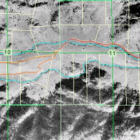
| This is a satellite view of the property we're buying. The property is the north/south parcel to the right of
the center line between 10 and 11 and south of the green line that spans between 10 and 11. The next property south of ours is
Roosevelt National Park. To zoom, click on the picture and continue until the maximum view is on the screen. |
|
This is the topographic map of the same piece of land. Click on the picture to see a larger picture. |
|
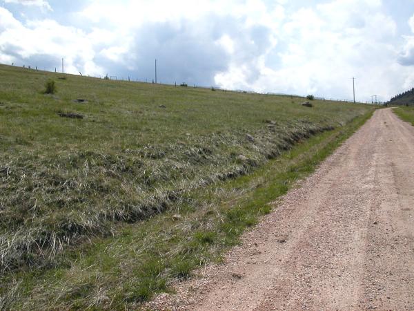
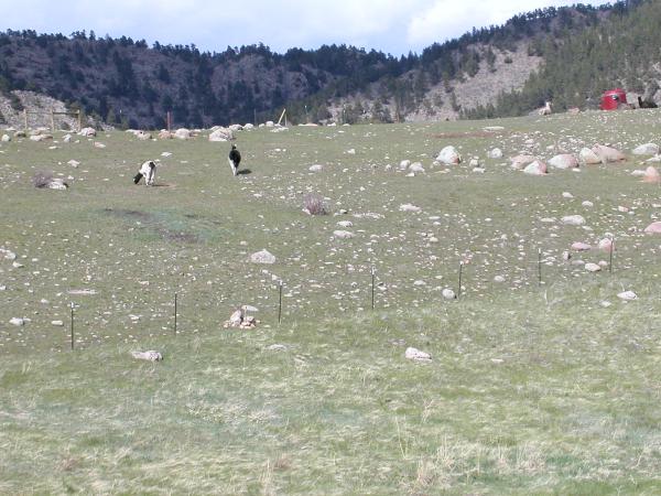
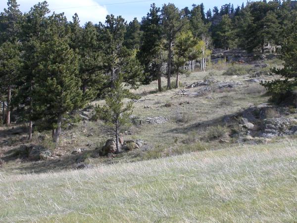
| Rita took these pictures while standing on the access road between ours and the one to the right. Click on the picture to see a larger shot. | |||
| The first picture is looking to the west while standing on the road. | |
This picture was taken in the opposite direction, looking at the house that is two properties away. | |
| This picture was taken looking south west over the rocky peak. | |
This one was taken looking towards the north at the Llamas. | |
| This picture was taken looking south down the property line. The grove of aspens sits on the property line. | |
This picture looking north west from the road. | |
We went back up on May 26th to get some more pictures and hike around following the property line. We still didn't find the southeastern corner but we did find the other three.